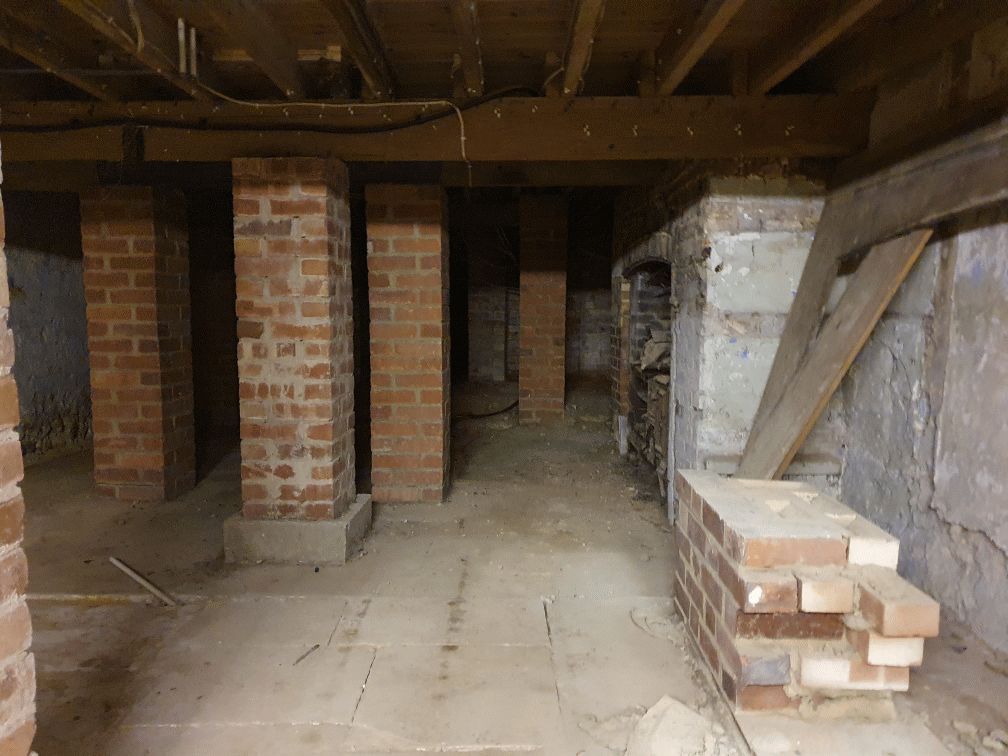
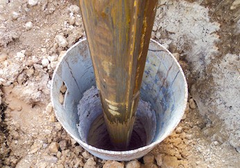
There is rumoured to be a tunnel from the white horse to the buttery and then from the buttery to the cathedral.
Regarding a tunnel from the crypt to the cathedral. Apparently Keats while upstairs being "entertained" watched the monks lock the gate to the cathedral. Now did he have xray specs on ??? That''s the pic of the guy gesturing towards the shelves is where the door way used to be
Between The Drive’s western and southern ends, Charles Stride built a private estate in c.1905 which included a nine hole golf course designed by James Braid, a lodge (Uplands), and a mansion (Woodland Place) with tree-lined grounds which, as Rew Lane, was developed in the late 1950s. The golf course was too close to the Goodwood course to be a commercial success and it was given up for gravel extraction immediately prior to the first World War, with a mineral branch line connected later to the Chichester-Midhurst railway. His golf course and pavilion is mentioned in https://golfsmissinglinks.co.uk/index.php/england/south-east/sussex/851-sus-summersdale-golf-club-chichester
Archaeological Evaluation at Lower Graylingwell, Chichester
Archaeological and Historical Background 2.1.1 An Archaeological Desk-based Assessment was produced for the site in 2014 (AMEC 2015), and a summary of the key findings are reproduced below. 2.1.2 A small Palaeolithic handaxe was found in an evaluation 150m east of the site. There are no records of Mesolithic finds within 500m of the site. 2.1.3 Early Neolithic pits containing pottery and flintwork were found at Baxendale Avenue some 150m south of the site, and four small pits, one containing later Neolithic pottery, during evaluation a
The Graylingwell Heritage Project has been a community based heritage and arts programme located in Chichester, West Sussex.
The original Victorian buildings had a central boiler house with the water tower which is, after the Cathedral spire, by far the tallest building in Chichester. And if you go up to the Trundle and look down on Chichester, the only two buildings you can see are the Cathedral spire and the Graylingwell water tower.
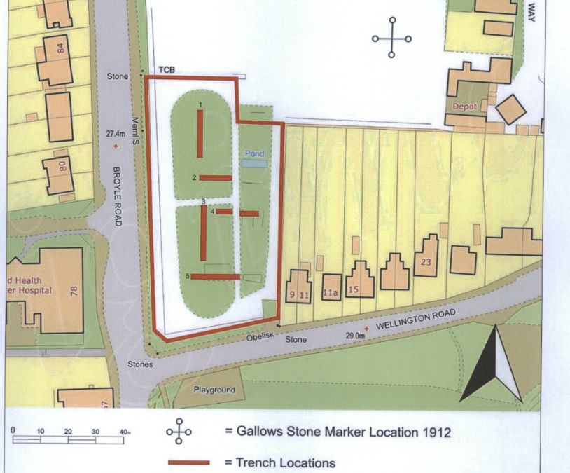
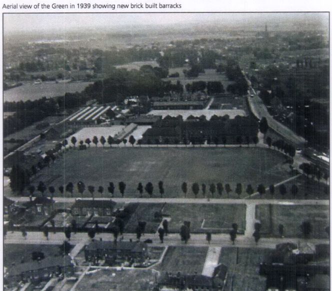
An Archaeological Evaluation at Roussillon Barracks
An Archaeological Evaluation atRoussillon Barracks Chichester, West Sussex
Planning Reference No: CC/10/03490/FUL Phases 1a & 1b Project No: 4861 Site Code: RBC 11ASE Report No: 2011128 OASIS id: archaeol6-102472 By Diccon HartWith contributions by Sarah Porteus Illustrations by Fiona GriffinJune 2011
Underneath Hansford Menswear
A number of those readers remembered a story about tunnels underneath Hansford Menswear, also in South Street, so we spoke the shop''s owner to find out more. Matthew Hansford described a blocked-off passage in cellar of the shop, which he believes may have led to the cathedral
Historically, to build a house with a simple cellar you would dig out the ground to a depth of around 6ft, the cellar walls would have been constructed with a lining of stone or brick and with a drain for water within the cellar. The floors would have been built up on crushed stone or sand to provide a level surface and paved, usually with flags. Brick paving became more common in later periods.
researching properties using the council planning system
An introduction to researching properties
Featured in Chichester Observer
Maureen Williams, 82, of Westgate, recalled a school trip into the rumoured tunnels under Chichester when she was at Chichester High School for Girls.
She estimates she was in her early teens at the time and said she chose to share her memories after reading about the search for evidence in this newspaper.', '
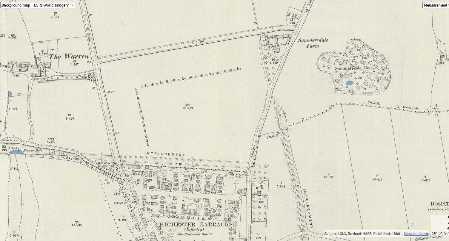
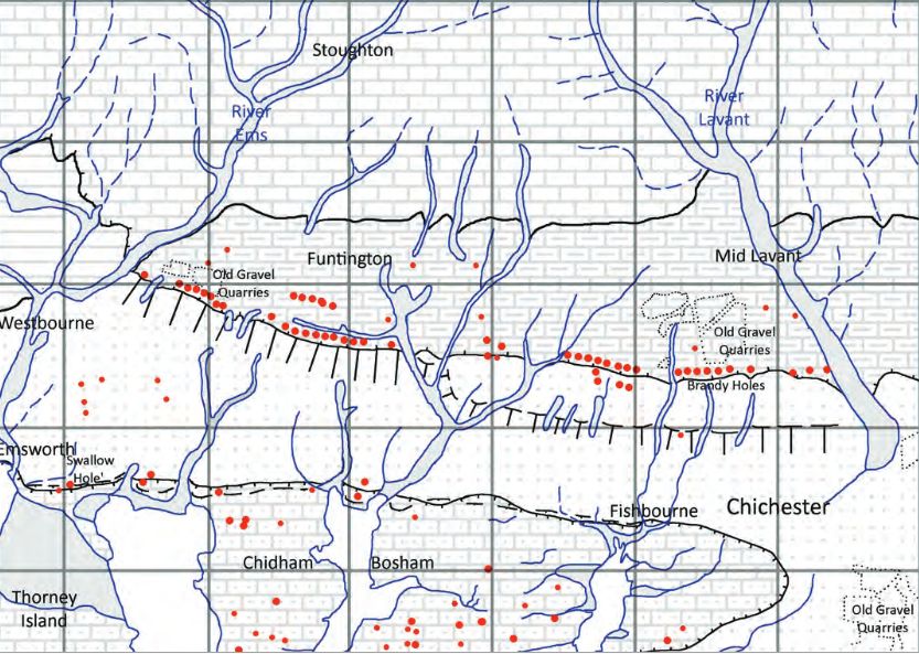
Brandy Hole Lane, East Broyle Copse area in the northwest part of Chichester. A well-developed doline line extends east-west across the area to the north of Brandy Hole Lane, along the underlying Chalk-Reading Beds boundary.
The Environment Agency has made 1m-resolution LIDAR imagery coverage for large areas of England and Wales freely available on the internet under Open Government Licence (www.lidarfinder.com).


