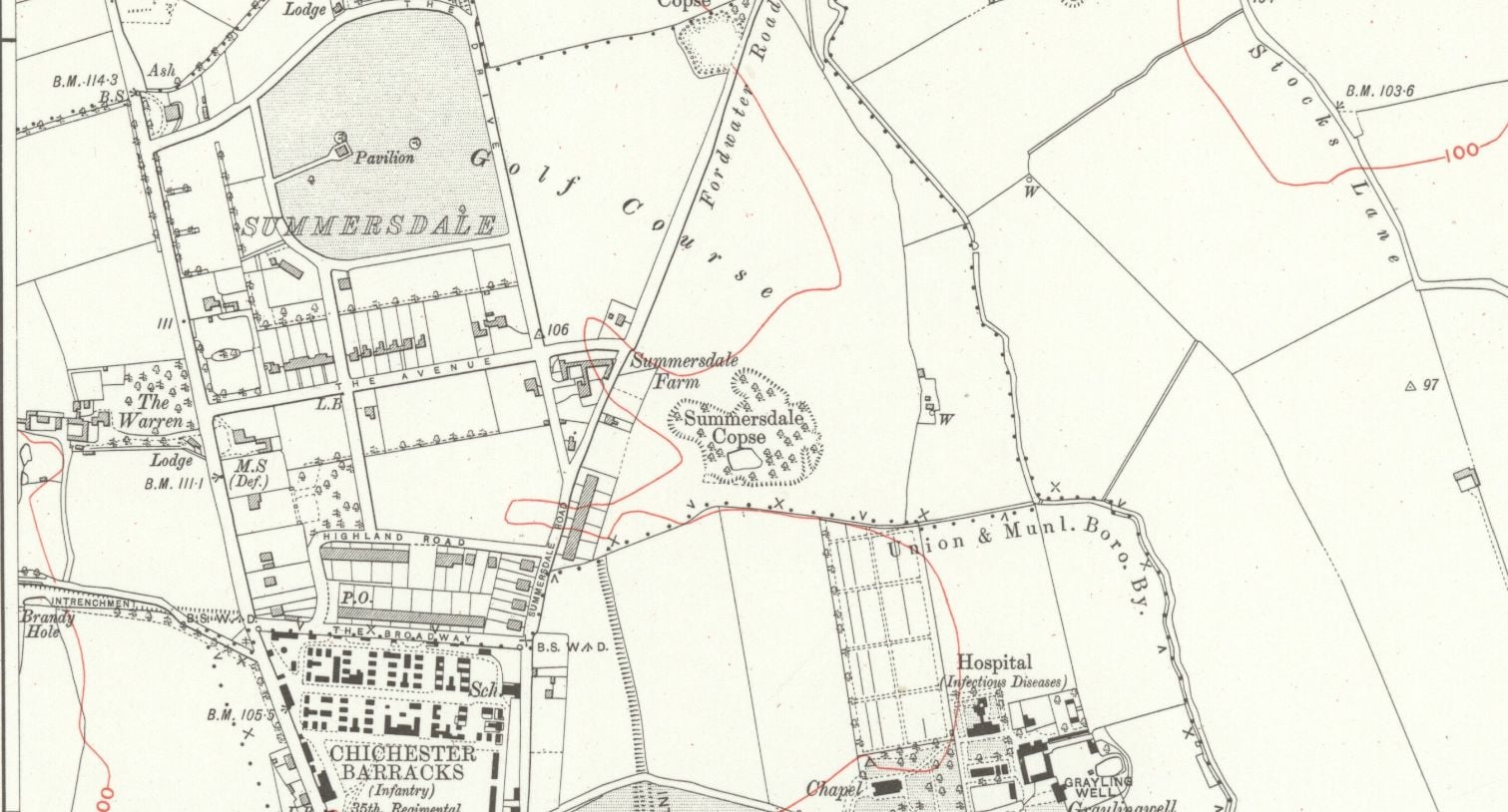
Between The Drive’s western and southern ends, Charles Stride built a private estate in c.1905 which included a nine hole golf course designed by James Braid, a lodge (Uplands), and a mansion (Woodland Place) with tree-lined grounds which, as Rew Lane, was developed in the late 1950s. The golf course was too close to the Goodwood course to be a commercial success and it was given up for gravel extraction immediately prior to the first World War, with a mineral branch line connected later to the Chichester-Midhurst railway. His golf course and pavilion is mentioned in https://golfsmissinglinks.co.uk/index.php/england/south-east/sussex/851-sus-summersdale-golf-club-chichester
The club was founded in 1904.
Summersdale professionals; Reginald Gray, 1904-1906; Arthur G Gray/ H Bowden 1907/8; W Barfoot, 1908-1911; G Chalk 1911-1913, (also early 1920s); G Clark, 1915-1926. In 1904/5 the secretary was F Stride, East Street, Chichester, the captain was M F Mieville, and the professional Reginald Gray (finished 45th in the 1904 Open Championship). Course records were; professional, R Gray 41; amateur, M F Mieville 43. The nine-hole course was laid out by James Braid in the summer of 1904. The course measured 3,370 yards with two holes over 500, and three over 400 yards with a bogey score of 43. There was no entry fee and subs were £2/2s; ladies £1/1s. There was a membership of 100 which was steadily increasing, and there was a “comfortable clubhouse.” Visitors’ on introduction, free for two days, afterwards 2/6 a day, 5/- a week and 15/- a month. Railway stations at Lavant, one mile, and Chichester one and a quarter miles.
Random articles of interest
st johns church
About 50 years ago in the vestry of St. John’s Church In Chichester a flag stone was taken up by some teenagers and a tunnel was revealed. Apparently it runs along under St Johns Street in a south / north direction
Archaeological Evaluation at Lower Graylingwell, Chichester
Archaeological and Historical Background 2.1.1 An Archaeological Desk-based Assessment was produced for the site in 2014 (AMEC 2015), and a summary of the key findings are reproduced below. 2.1.2 A small Palaeolithic handaxe was found in an evaluation 150m east of the site. There are no records of Mesolithic finds within 500m of the site. 2.1.3 Early Neolithic pits containing pottery and flintwork were found at Baxendale Avenue some 150m south of the site, and four small pits, one containing later Neolithic pottery, during evaluation a
Maureen Williams, 82, of Westgate, recalled a school trip into the rumoured tunnels under Chichester when she was at Chichester High School for Girls.
She estimates she was in her early teens at the time and said she chose to share her memories after reading about the search for evidence in this newspaper.', '
First, there are no maps in the presentation to hidden tunnels , all information is in the public domain and if we get distracted during our searches that is only natural. I will try and make this as interesting as possible and we will not be getting our boots dirty.
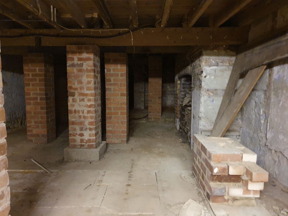
Why have a cellar? Having a cellar was actually quite an expensive and a time consuming affair. Most people didn't. There was no point unless there was something to store or servants to hide.
Are you curious about the tunnels in Chichester? If you are, you are not alone. Many people have wondered about the existence and purpose of these underground passages that are said to run under the city. Some claim they have seen them, others have heard stories about them, but what is the truth behind the mystery?
In this blog post, I will try to shed some light on the tunnels in Chichester, based on some web searches and historical sources. I will also share some of the rumours and legends that surround them, and invite you to share your own experiences or opinions in the comments section.
summeerdale football ,I have an update on the old newspaper article relating to Summersdale and the tunnel found under a football pitch. I sent an email to the Summersdale Residents Association, and they were extremely helpful with one of the members being able to identify a location for the site of the pitch. Looking at some old maps and combining the documents from Liam Mandville regarding subsidence etc. the area between The Avenue and Highland Road (on the Eastern side), does fit well as to the location. Many of the properties built on this site have substantial gardens so there may still be something to find that could explain what was found by the groundkeeper all those years ago? ,5f6f8e5fb6881-116345275_10157348686446892_326855352233187857_n.jpg,5f6f8e5fb7b45-116168775_10157348685396892_1033817068655264665_n.jpg
DD I worked at 65 East Street when it was ''Hammick''s Bookshop'' (now Specsavers). We had a trapdoor in the middle of the floor that led down to a tunnel-shaped cellar that seemed to extend through the front of the shop and under the pavement outside. I didn''t see any evidence of it ever having joined another tunnel and imagine that perhaps there was once an opening in the pavement for deliveries.
\r\n
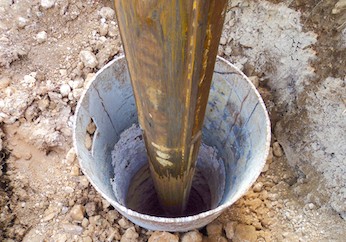
Chichester Culverts
We do not suggest going into the culverts. These are not classified as tunnels and can be dangerous
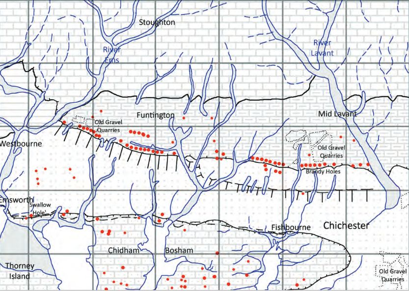
Brandy Hole Lane, East Broyle Copse area in the northwest part of Chichester. A well-developed doline line extends east-west across the area to the north of Brandy Hole Lane, along the underlying Chalk-Reading Beds boundary.
The Environment Agency has made 1m-resolution LIDAR imagery coverage for large areas of England and Wales freely available on the internet under Open Government Licence (www.lidarfinder.com).


