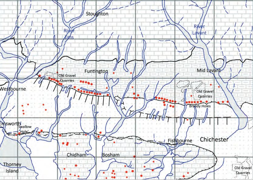
It is not certain why doline lines have formed along the Chalk – Reading Formation boundary. A possible reason is that the movement of groundwater passing southwards from the chalk has been impeded by clay at the base of the Reading Formation. This bed of clay possibly forms a slight scarp buried beneath the overlying superficial deposits (Cordiner 2019, Fig. 1), which allows groundwater to infiltrate the underlying chalk along pre-existing fractures. Over time downward movement of groundwater has been concentrated at specific sites where chalk fractures have been preferentially enlarged. With enlargement of the fractures in the underlying chalk, superficial deposits have been washed down into them, leaving a crater in the land surface.
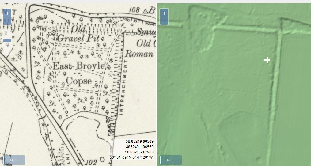
It is known that smugglers in the 18th century used these caves to hide brandy, a barrel of this spirit being discovered when building the foundations for the Chichester-Midhurst line, near where it crossed Brandy Hole Lane. It is known that gravel was formerly dug in this area; the pond in East Broyle Wood Nature Reserve being located in an old quarry. These workings may even go back to Roman times, as indicated on the 1898 O.S. map, as the nearby ‘Intrenchment‘ bank would have been a ready source of flint gravel. It is possible that the Chichester Brandy Holes and caves started out as sink holes, which were later further excavated for flint gravel, and later further excavated by smugglers.
Are you curious about the tunnels in Chichester? If you are, you are not alone. Many people have wondered about the existence and purpose of these underground passages that are said to run under the city. Some claim they have seen them, others have heard stories about them, but what is the truth behind the mystery?
In this blog post, I will try to shed some light on the tunnels in Chichester, based on some web searches and historical sources. I will also share some of the rumours and legends that surround them, and invite you to share your own experiences or opinions in the comments section.
The Graylingwell Heritage Project has been a community based heritage and arts programme located in Chichester, West Sussex.
The original Victorian buildings had a central boiler house with the water tower which is, after the Cathedral spire, by far the tallest building in Chichester. And if you go up to the Trundle and look down on Chichester, the only two buildings you can see are the Cathedral spire and the Graylingwell water tower.
A number of those readers remembered a story about tunnels underneath Hansford Menswear, also in South Street, so we spoke the shop''s owner to find out more. Matthew Hansford described a blocked-off passage in cellar of the shop, which he believes may have led to the cathedral
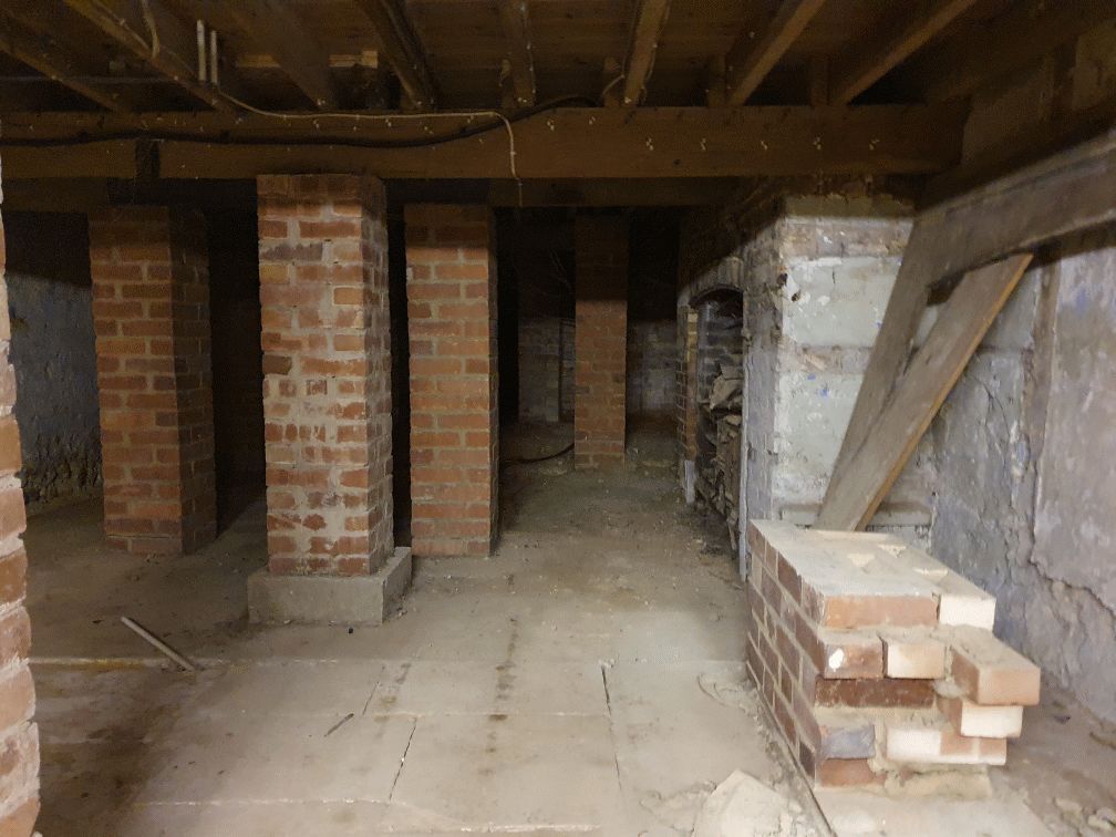
From trying to locate the areas marked on the old maps as smugglers or roman caves at the approc following locations. Our team tried to take photos as best we could.
su 85228 06608 50.8527, -0.7906 su 85255 06596 50.8526, -0.7902 su 85249 06577 50.8524, -0.7903 su 85248 06565 50.8523, -0.7903 su 85329 06661 50.8532, -0.7892 su 85359 06657 50.8531, -0.7887
It was under the Crypt and right next to the cathedral
Maureen Williams, 82, of Westgate, recalled a school trip into the rumoured tunnels under Chichester when she was at Chichester High School for Girls.
She estimates she was in her early teens at the time and said she chose to share her memories after reading about the search for evidence in this newspaper.
AArc141/14/EVAL Roussillon Park, Broyle Road, Chichester, West Sussex, PO19 BBL
Sporadic finds represent the early prehistoric period in the vicinity of the Project Site, with the discovery of Palaeolithic axe in a garden on Brandy Hole Lane (c. 600m to the NW) and a Neolithic stone axe, in the vicinity of Spitalfield Lane, over 1km to the SE (Lee 2008: 9).
Bronze Age activity has been recorded c. 500m to the east of the site, in the vicinity of Garyiingwell Hospital, where evidence for settlement was identified along with remains of six cremation burials (Lee 2008: 9).


